Geoneon Demo Maps
EMPOWERING LONG-TERM PREPAREDNESS
Explore our demo gallery featuring Geoneon’s precision mapping products. Designed for professionals and comprehensible to communities, these tools enhance strategic planning and resilience across various sectors.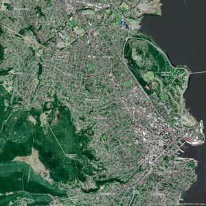
High-Res Vegetation
Detailed Urban Vegetation - Hobart
A high-resolution 30cm map categorising trees, other vegetation, and bare areas, suitable for detailed urban environmental planning.
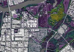
High-Res Vegetation with Height
Vegetation Height Analysis - Sydney
High-resolution vegetation height mapping across a Sydney transect, essential for urban canopy and green space management.
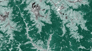
Standard Vegetation
Broad-Scale Vegetation Coverage - Bhutan
A map at 10m resolution showing trees, other vegetation, and bare areas across Bhutan, ideal for large-area conservation and planning.
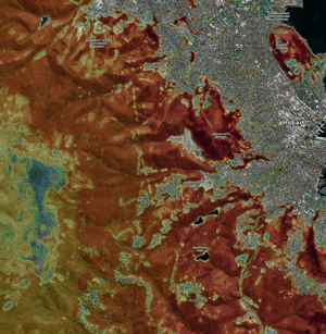
High-Res Wildfire Severity
Detailed Wildfire Severity Index - Hobart
A 50cm map identifying potential wildfire areas in Hobart, tailored for long-term preparedness and emergency planning.
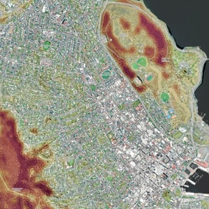
Standard Wildfire Severity with Climate
Climate-Informed Wildfire Map - Hobart
This 10m resolution map integrates climate data to provide a nuanced view of wildfire severity, enhancing preparedness for Hobart's fire management teams.
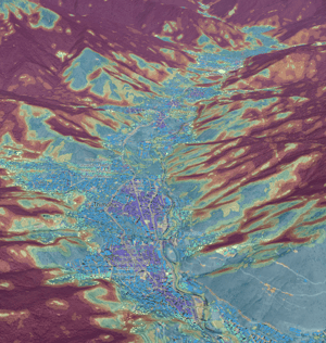
Standard Wildfire Severity Index with Climate and Exposure
3D Wildfire Risk and Exposure Map - Bhutan
Advanced 3D mapping that incorporates both climate and exposure factors, offering a comprehensive tool for long-ter preparedness, disaster management, and planning in Bhutan.